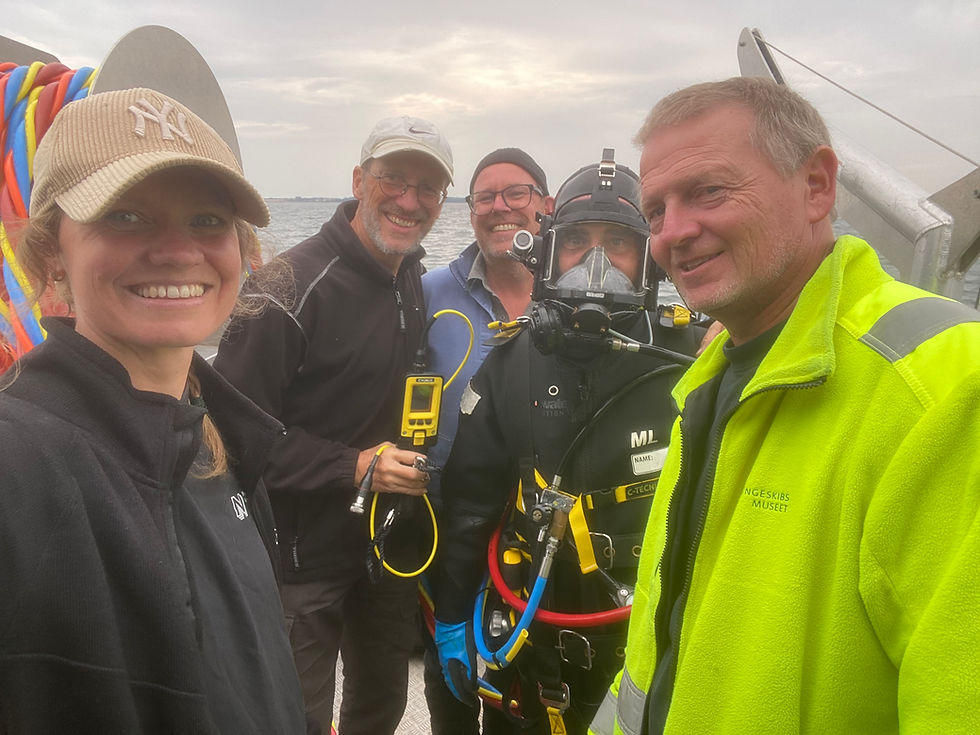
Dr Jan Majcher is the new ENDURE post doc in marine remote sensing
- ENDURE

- Sep 4, 2023
- 1 min read
Jan has a PhD in Environmental Science from Ulster University where he explored the stability of several historic shipwreck sites situated in the Irish Sea using high-resolution hydrographic, geophysical, and oceanographic datasets. In recent years he has also worked as a geophysical data processor, GIS analyst, and hydrographic surveyor in Poland and Ireland. He will be key to the work we are doing to detect, visualise and interpret the products of natural and anthropogenic decay of shipwrecks and submerged prehistoric sites using marine remote sensing data, integrated with natural and anthropogenic variables in a GIS platform


Comments